Opportunity Cameras for Coastal Monitoring

Domain #2
Disaster resilience
Challenge 2.1. Optimisation of prediction of disaster
![]()
Prototype
![]()
Open Call #2 laureate
Description of the project
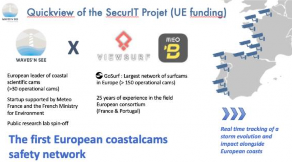
The aim of this project is to go further, and first, to gather the visual information all along the year from a set of a dozen existing cameras from Viewsurf and Beachcam networks, along the western european coast. Then, the expertise on coastal video monitoring of Waves’n See will be used to extract key coastal parameters from coastline or sea state to overtopping. These parameters enable to have better understanding of a beach response to successive meteo-oceanographic events, and are therefore useful to optimize the decisions and actions of beach managers. Additionnally, they constitute relevant validation or input data to ocean modellers.
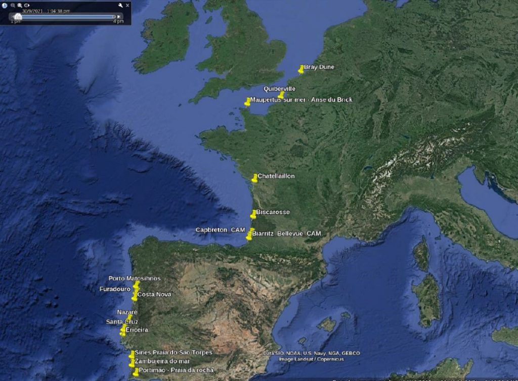
Mapping of the pre-selected sites
Mid-term project update
Final project update
The aim of the NOCCRO project is to use the hundreds of existing beach cameras to help preserve the coastline.
Beachcam and Viewsurf, partners in this project, operates a network of more than 150 tourist or surf cameras along the European coastline. Waves’n See has expertise in image processing and analysis to produce oceanographic data crucial for managing coastal erosion and marine submersion.
The technical challenges involved acquiring, stabilizing and processing images from non-scientific cameras so that oceanographic analysis algorithms could be used. The second key point was to georeference all the camera views so that each pixel corresponds to a GPS point. Finally, each camera selected as part of the project will have been able to acquire at high frequency at least one of these parameters: height, period, wave direction, coastline, beach slope. The final result of the project: an initial network of 12 beach cameras used as coastal scientific cameras, stretching from the north of France to the south of Portugal, and the drafting of technical specifications to enable the experiment to be replicated on a large scale.
Examples of selected locations and camera viewing


Praia da Rocha Panorâmica, Portugal


Matosinhos Porto, Portugal


Ericeira, Portugal


Senhora da Rocha e paria Nova, Portugal
Green lines : optimum view desired
Orange lines : optimum view obtained


